Geospatial & Uncrewed Aircraft Technologies


student flying a drone
Duration | Year 1 | Year 1 | Year 2 | Year 2 | Certifications Offered | Dual Enrollment |
"2 years | 8423, Geospatial Technology I, | 8910, Unmanned Aircraft Systems, 8460 Modeling & Simulation Technology, | 8424, Geospatial Technology II, | 8912, Unmanned Aircraft Systems Advanced, 8459 Digital Visualization, | "*Workplace Readiness Certification (Year 1) *TBD (Year 2)" | JMU - |
6 credits | 1 credit | 2 credits | 1 credit | 1 credit | between 6-10 credits |
Offered at The Advanced Career Education (ACE) Center at Highland Springs
ACE @ Highland Springs Instructor:
State Course Title: Geospatial Technology I
Description:
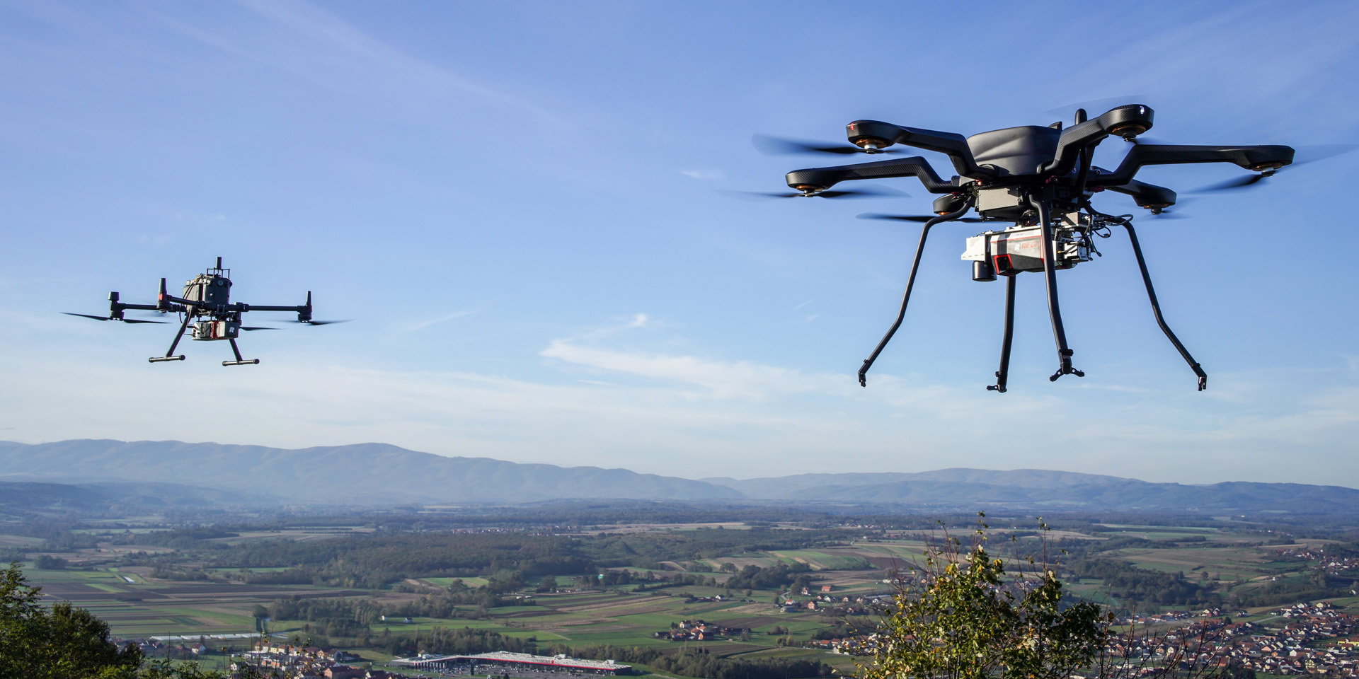
Students will develop skills in geospatial analysis and drone technology. It integrates STEM education, focusing on practical applications of uncrewed aircraft systems and geospatial data. Students will learn to operate drones, understand federal regulations, earn their Part 107 Certificate with the FAA, and apply geospatial technologies to real-world problems. The curriculum includes hands-on flight practice, data collection, and analysis, preparing students for careers in fields such as aerial surveying, environmental monitoring, and disaster response.
aerial drones